Eyjafjallajokull: Difference between revisions
Jump to navigation
Jump to search
No edit summary |
No edit summary |
||
| Line 26: | Line 26: | ||
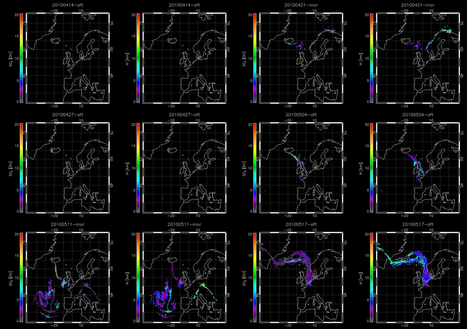
[[File: | [[File:Eyja.gif|frame|left|IASI SO2 retrieved amount [DU] and altitude [km] for the period 14 April to 17 May 2010]] | ||
Revision as of 11:33, 6 February 2013
| Eyjafjallajokull | |
|---|---|
| Elevation | 1666 m |
| Latitude | 63° 38′ ″ N |
| Longitude | 19° 36′ ″ W |
Eyjafjallajokull is a is a stratovolcano, located close to Iceland’s southern coast.
Eruption April May 2010
The volcano entered a precursor eruptive phase on 20 March 2010 that included lava flows but no significant ash and SO2 emission. Following earthquake activity an explosive eruption began on the 14 April 2010. The explosive part of the eruption can be divided into three phases (Zehner, 2012; Stevenson et al., 2012; Petersen et al., 2012):
Phase I: 14–18 April.
Phase II: 18 April–4 May.
Phase III: 5 May–24 May.
